Funding: CNES, ESA
Principal investigator: F. Schmidt
GEOPS staff involved: F. Schmidt, F. Andrieu, H. Lancery
Partners: University of Copenhagen, Denmark
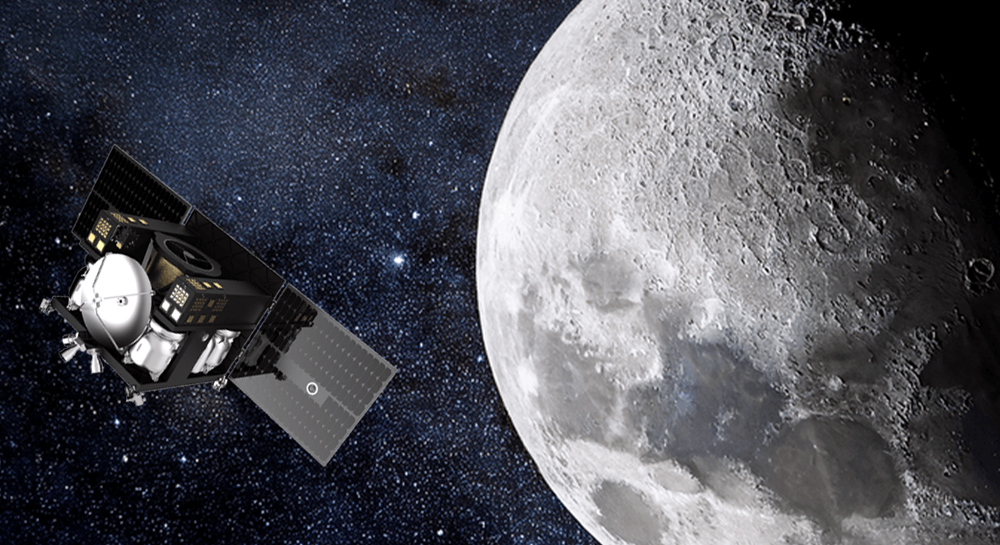
Máni, named after the Norse goddess of the Moon, will enable us to explore the Moon by observing it with unprecedented resolution. For the first time from lunar orbit, images will be captured with a resolution of 20 cm. The mission’s other major innovation is its ability to observe the Moon from multiple angles, allowing it to be scrutinised from every perspective. Máni will provide new and valuable information that will facilitate the planning of human and robotic exploration of the Moon (including ARTEMIS), reduce the risks associated with lunar landing and facilitate its scientific exploration. The mission is led by a Danish and international consortium (Poland, Slovenia, the Netherlands and France), with launch and the start of scientific operations scheduled for 2029.
The Máni mission will be the first to use a targeted multi-angle photogrammetric mapping approach to map the main regions of interest on the lunar surface. The aim is to acquire orbital images of the lunar surface, including the polar regions, at the highest possible resolution, across a wide range of observation geometries. From these images, Máni will produce detailed maps of the topography and reflectance properties with a resolution similar to that of the images. Furthermore, through photometric analyses, sub-pixel information will be generated to determine surface properties at the micrometre scale. Due to the probabilistic nature of the new data processing method used, all mission data products will be accompanied by a measure of their confidence level. This means that future missions will be able to select, for example, landing sites that not only meet the mission requirements but also have a high level of confidence regarding compliance with these requirements, thereby reducing risks and increasing the mission’s chances of success.
The GEOPS laboratory is contributing to this mission by providing general expertise in planetary science as well as technical expertise in the study of planetary surfaces using photometry and photoclinometry methods. In particular, the GEOPS laboratory will be responsible for producing the data processing software and will participate in the selection of areas of interest on the Moon.